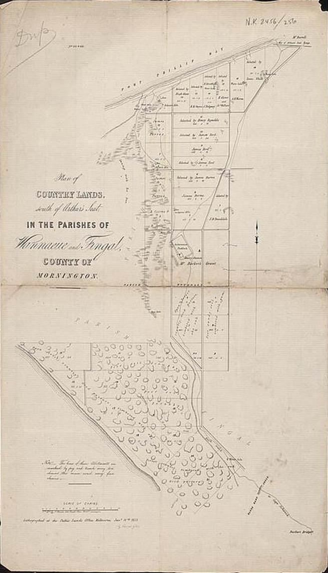
The Mornington Peninsula and Nepean Peninsula
location map, remnant indigenous vegetation map, geological formations, soils and historical maps
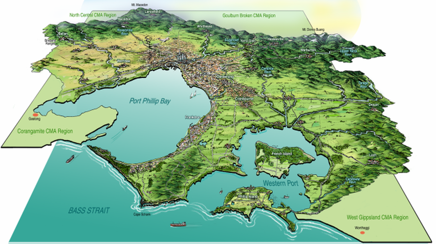
Port Phillip & Westernport Catchment Management Authority area map
Remnant indigenous vegetation on the Mornington Peninsula
Of the 18% left, only 8% is in public reserves and much of it is weedy or otherwise degraded

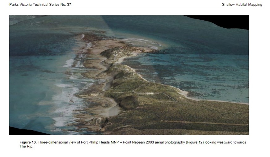
Geology
The range of different geology contributes to the high biodiversity values of the peninsula
javascript:;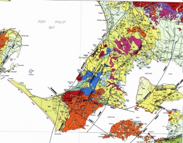
Download more detailed Mornington Peninsula geological maps scale - 1:63,360 (an inch to a mile)
Sorrento map
| 10753_sorrento_63_geology.pdf |
Westernport map
| 10755_westernport_63_geology.pdf |
Cranbourne map
| 10737_cranbourne_63_geology.pdf |
The 3 maps above came from the DPI Earth Resources Store* maps collection. Considerably higher resolution maps are available there
*Although there is an "add to cart" checkout process to follow, stress not, as most content is priced at $0.00 to download
*Although there is an "add to cart" checkout process to follow, stress not, as most content is priced at $0.00 to download
Port Phillip and Westernport Geological map
| port phillip & westernport geomorphological map.pdf |
For more geological resources, go to the geology and groundwater downloads page
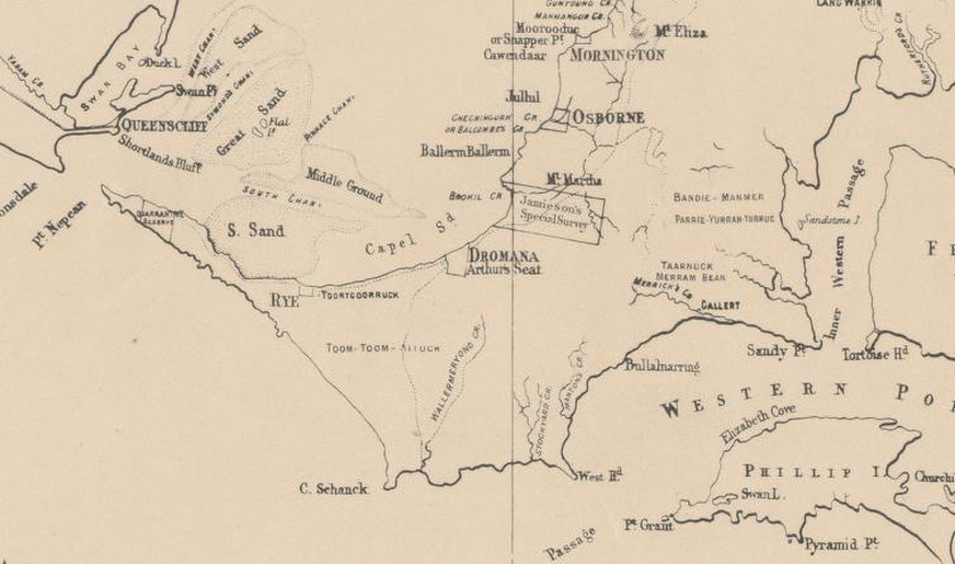
From George Augustus Robinson's 1858 map of Southern Victoria, source: National Library Map Search
Rosebud, Boneo and the eastern edge of Tootgarook Swamp
javascript:;